 ADSCivil
What's New in ADSCivil 2024?
-
New features in the 2024 version
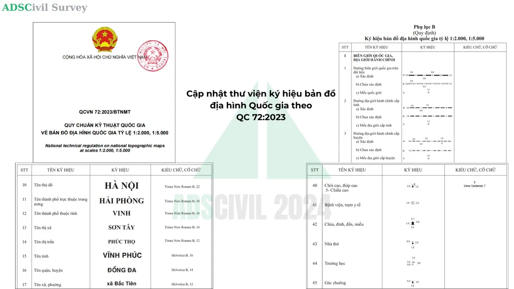
- Updated the national topographic map symbol library to QC 72:2023
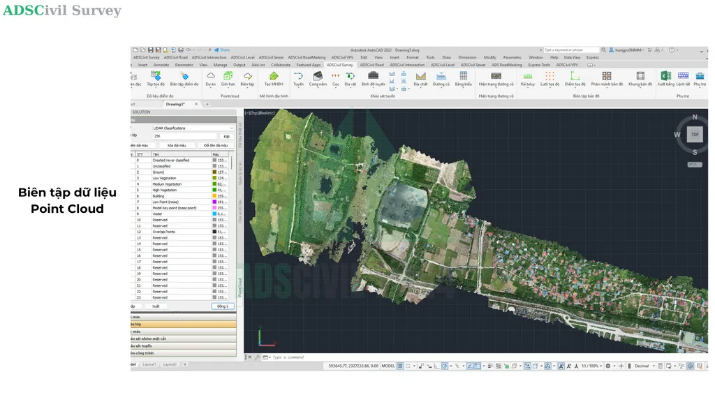
- Point cloud data editing
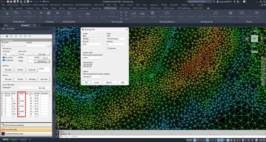
-Improved display precision in the PSC command without having to change the Units setting, so searching for and renaming stations is accurate. In the previous version, if a station chainage was uneven (after inserting an osnap on the alignment or adjusting the centreline), selecting the station in the table did not find the right position and the rename went to the wrong station.
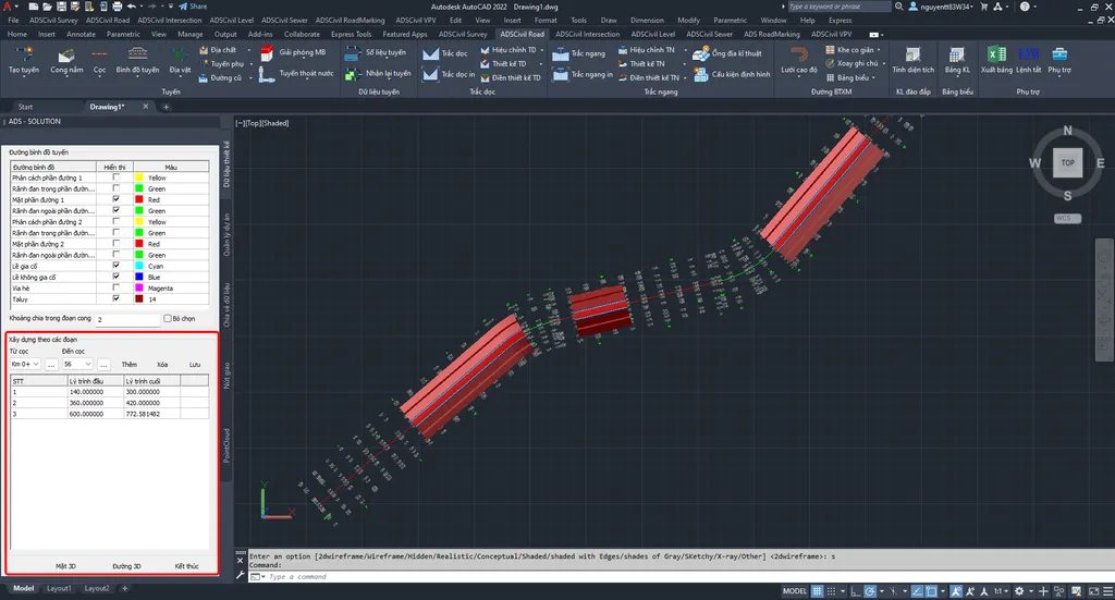
- Create 3D lines and 3D design surfaces by chainage
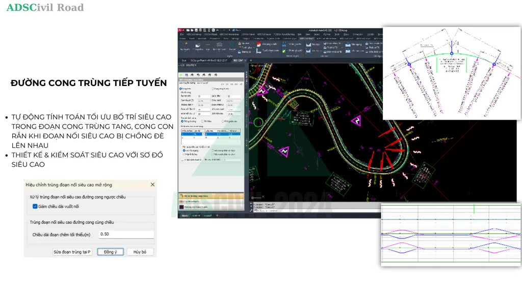
- Automatically calculate the optimum superelevation transition layout on compound tangent curves and reverse curves
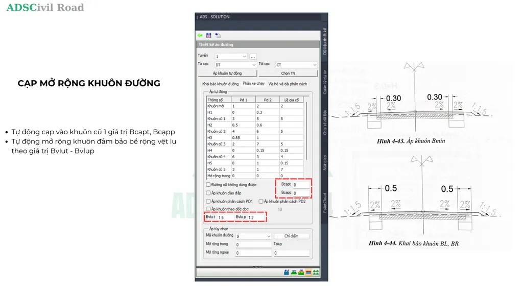
- Pavement box widening:
- Case 1: cut back part of a damaged existing shoulder
- Case 2: cut back automatically so the new box layer is at least as wide as the minimum roller pass
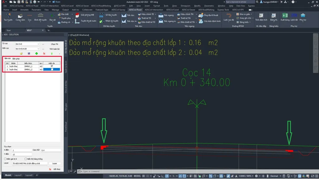
- Split out cost codes for box widening excavation areas by ground condition
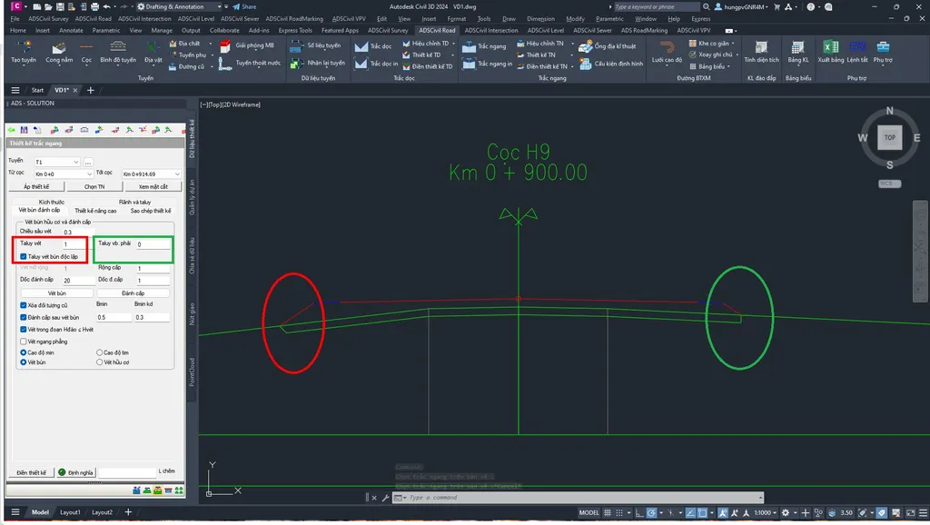
- Added the option to declare different left and right slopes for stripping when picking points
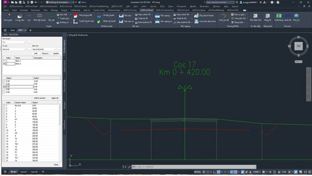
- Added a command to pick the cross section ditch back up (after defining and copying slopes automatically)
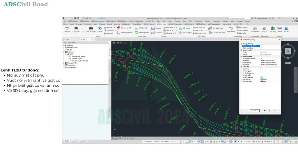
- Upgraded the TL2D command
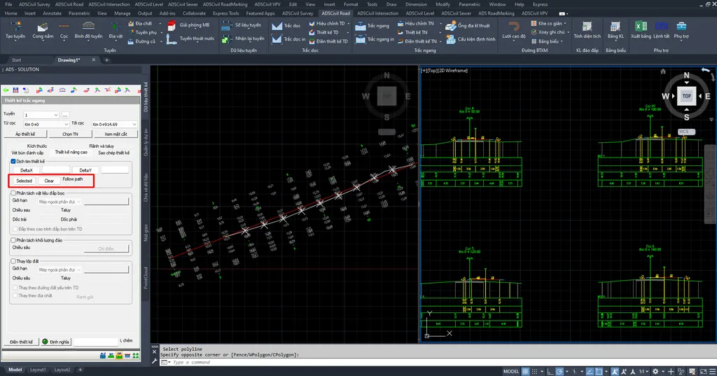
- Updated cross section design offset along a polyline on the plan
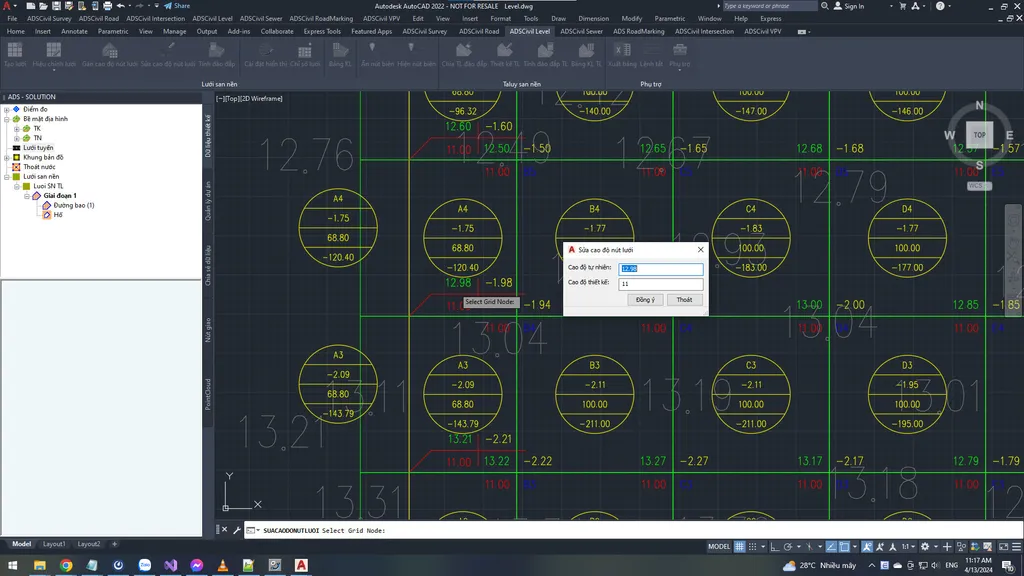
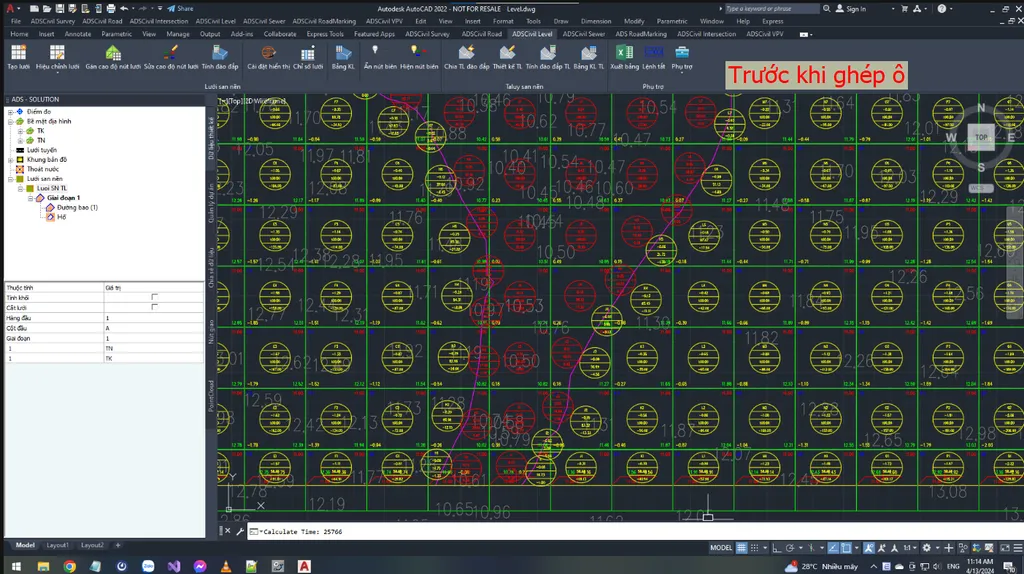
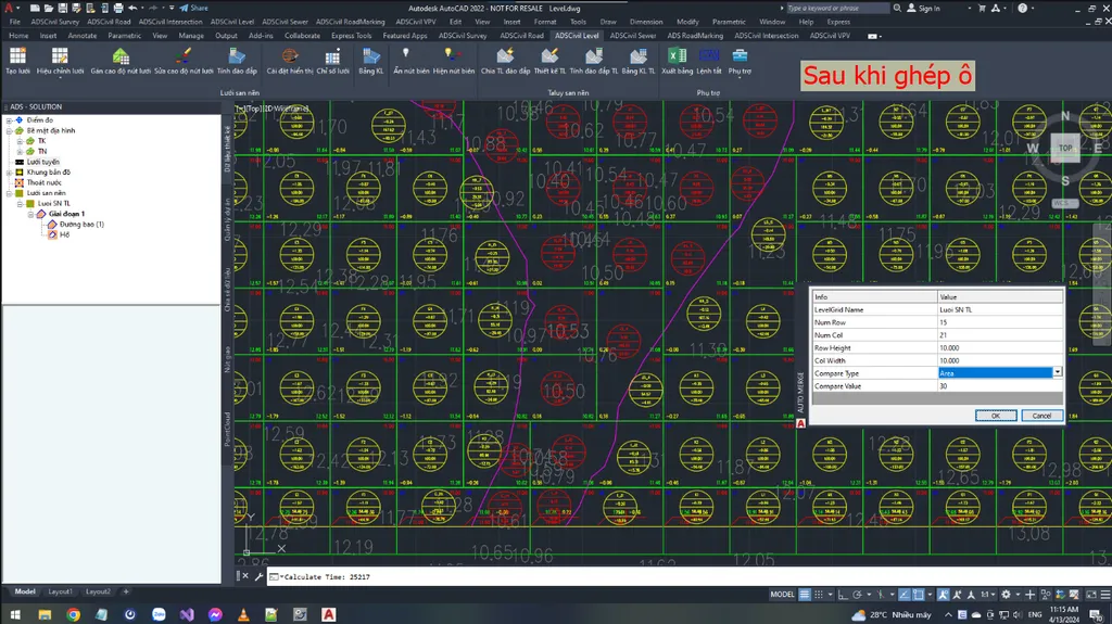
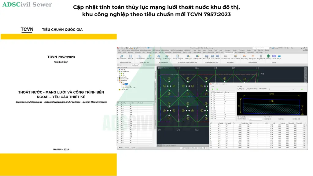
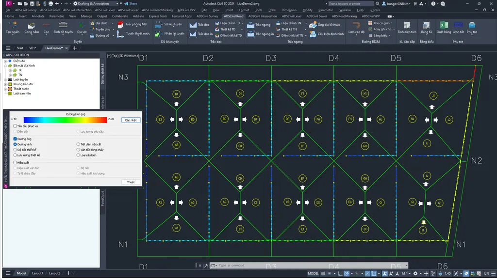
- Updated to TCVN 7957:2023 for drainage network hydraulic calculation
- Added a command to display drainage pipes by colour band. Command: HTTTGT
- Import, export and view OPEN BIM formats: IFC 2X3, IFC 4X3
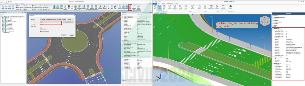
- Carry information across from the design drawing into the BIM model
+ Manhole and drainage pipe levels
+ Block attribute information such as lighting columns and fire hydrants
+ Volume and area of 3DSolid objects: pavement structure, manhole concrete volume, bridges, culverts and so on
- Rename objects in the BIM model
- UV map unwrapping in ADSCivil VPV

- Follow construction progress in ADSCivil BIM Explore against point cloud capture data

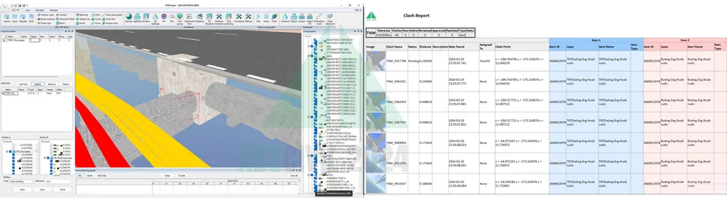
- Clash detection: automatically calculate and export a report of clashes between design items in the BIM model
+ Hard clash
+ Soft clash, assessed against a clearance you enter
+ Report export
2. Fixes and optimisations
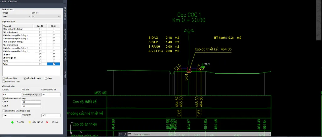
- Fixed the DTKTN command filling in more than it should; in the 2024 version it fills only the objects ticked ✅ in the table
+ Fixed ADSCivil 2019 drawings failing to open
+ Fixed silt stripping quantities being counted several times after the user pressed Undo
+ Updated intersections (changed how the intersection boundary is set)
+ Sped up drainage network optimisation calculation, among other improvements
For support, contact: Mr Nguyen 0987 779 228 (call/Zalo)
#ADSCivil #ADSCivil2024 #UPDATE #BIM #thietkeduong #thietkehatang #phanmembim #giaiphapbim #hatangkythuat #phanmemthietke #CDE #ISO19650