 ADSCivil
ADSCivil 2024 - Working with point cloud survey data
Baezeni Software Co., Ltd. is pleased to introduce a powerful new feature in ADSCivil 2024 - an advanced approach to survey data processing: working with point cloud survey data. This is an important step forward in handling point cloud data, giving users convenience, accuracy and real efficiency through survey, analysis and design.
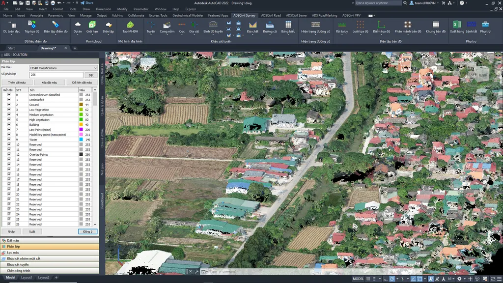
Figure 1.1. The ADSCivil Survey interface
What stands out about point cloud data handling in ADSCivil Survey:
- Accepts a wide range of input data: ADSCivil Survey reads data in many formats from 3D laser scanners, drones and other sources - .las, .laz, .rcp, .rcs and more. That makes it possible to bring everything together into one dataset for analysis and processing.
- Quick to work with: ADSCivil Survey provides fast tools for point cloud data, letting users filter and classify 3D points by colour and elevation, and then extract the information they have prepared with ease.
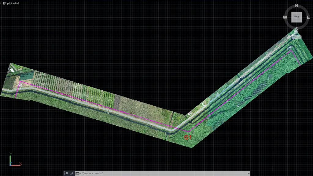
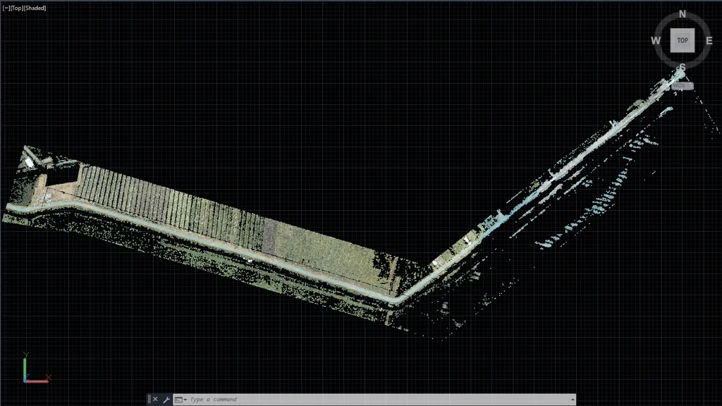
3. Accurate model building: ADSCivil provides accurate analysis tools working from point cloud data, so users can build a model from the points they have classified and displayed.
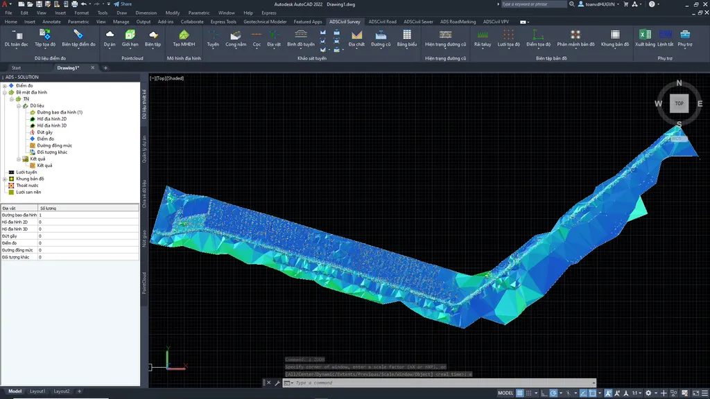 Figure 3.1. Building a model from point cloud data
4. Better teamwork: ADSCivil Survey lets you set a display boundary. On large projects the software can show the point cloud within one boundary only, which keeps handling and management quick and easy even on modestly specified machines, while improving how the team works together, saving time and shortening the programme
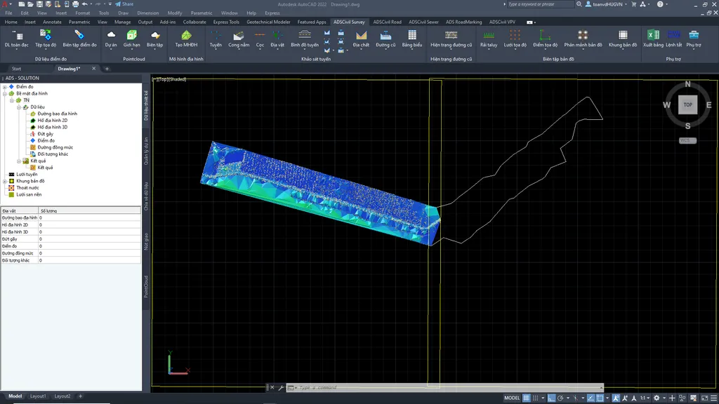
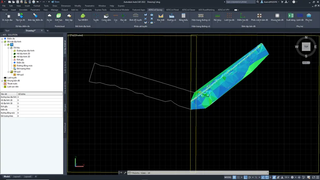
5. Route survey: ADSCivil Survey lets users create alignments and generate stations from point cloud data, replace the natural line with one they define themselves on the point cloud section, export .ntd files and draw terrain contours.
6. Design integration: point cloud handling in ADSCivil Survey works together with the other design products in the ADSCivil suite. Thanks to that connection, users can work from point cloud data to survey, locate and design the works.
With this new feature in ADSCivil Survey, users get a more efficient workflow, from importing point cloud data through processing and analysis to integration with the design tools. Together these make it easier to observe, assess and design the works, saving users time and effort.
----------------------------------------------------------------------------------------------------------------------
Register for a trial and free training here: Click to register now!
For full details please call our hotline: (024).3200.5386
Website: adscivil.vn