 ADSCivil
ADSCivil IFC: a visual 3D design solution for transport infrastructure works
At the project preparation and preliminary design stage, producing an option that is visual, accurate and standards-compliant is the key to convincing the client. ADSCivil IFC brings a powerful toolset that makes it straightforward for engineers and project management units to model, assess and choose the best design option for bridge and road works.
Some notable features of ADSCivil IFC:
GIS INTEGRATION
|
ADSCivil IFC pulls base map data quickly from Google Maps, including terrain and satellite imagery, so engineers can set up the input data for a design option without delay. The data is normalised to the coordinate systems used in Vietnam, VN2000 and WGS84, which keeps it accurate and easy to bring into transport infrastructure projects. |
VISUAL 3D BIM DESIGN
|
With ADSCivil IFC, engineers can quickly build and compare several preliminary 3D design options for transport infrastructure works such as roads, bridges, tunnels and intersections. The software models each option visually, which helps in assessing and choosing the best one from the very start of the project. |
GRADE-SEPARATED INTERCHANGE DESIGN
|
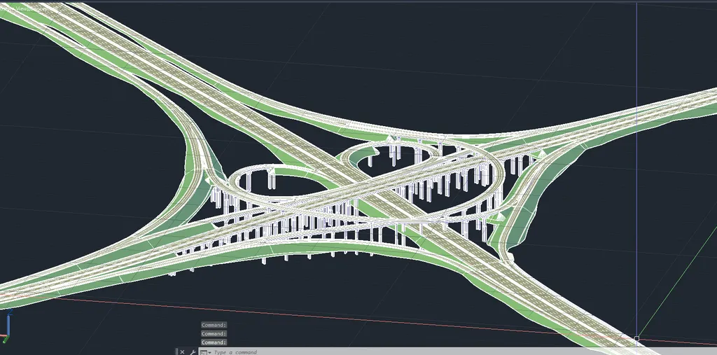
ADSCivil IFC provides a complete intersection design toolset covering both at-grade junctions and grade-separated interchanges. Engineers can quickly build options in a range of geometric layouts to suit the terrain and the traffic arrangement of the project, which helps in assessing and choosing the best option. |
BUILT-IN VIETNAMESE STANDARDS
|
ADSCivil IFC has Vietnam's transport infrastructure design standards built in, so design options meet the technical requirements in force. Road markings and traffic arrangements are set out to standard automatically, leaving engineers free to concentrate on developing and choosing the best design option. |
3D PRESENTATION
|
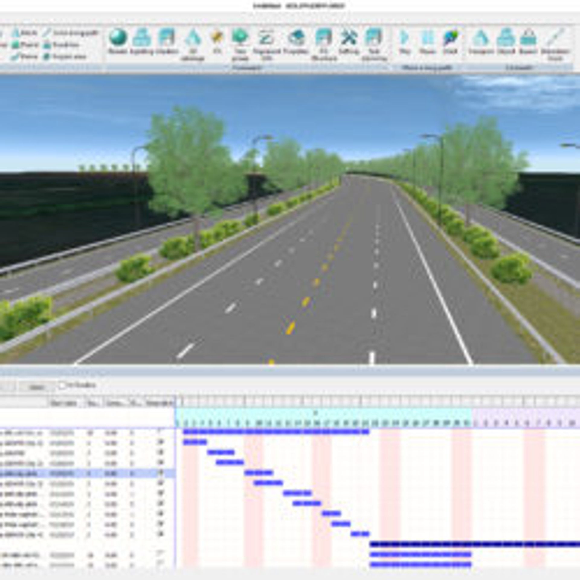
Because GIS terrain data is built in, ADSCivil IFC can render the 3D design model in a range of formats, making it easy for engineers to put together presentations and design statements. This helps bring transport infrastructure options to life for reporting and presenting to the client and other parties. |
CONNECTS TO THE ADSCIVIL BIM ECOSYSTEM
|
ADSCivil IFC exports and hands data straight over to the other modules in the ADSCivil BIM ecosystem, such as ADSCivil Survey and ADSCivil Road, so detailed design can carry on from there. Linking data between modules keeps the model consistent, streamlines the workflow and makes developing transport infrastructure projects more effective. |




GIS integration when building the existing ground model
Creating at-grade junctions
Diverge and merge tapers - grade-separated interchange
Flexible cross section definition
Bringing transport infrastructure options to life
Closely connected to the other products in the ADSCivil ecosystem (ADSCivil Road; ADSCivil Survey; ADSCivil Sewer and so on)
Streamline the way you design and manage your infrastructure projects today. Try the software at: ifc.adscivil.vn