 ADSCivil

ADSCivil 2025
ADSCivil Road is road design software that cuts design time to a minimum while improving productivity, flexibility and optimisation in design work.
REGISTER FOR A FREE TRIAL : HERE
| BAEZENI SOFT CO .,LTD Contact 0345.868.227/ 0977.973.227 Address: 2nd Floor, CT1AB Building - Me Tri Plaza, Nam Tu Liem, Hanoi. website: adscivil.vn |
|

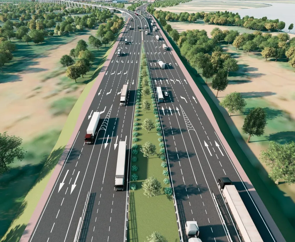
ADSCivil is the most advanced road design software available today, with applications for expressways, mountain roads, rural roads, urban streets, railways, road upgrading and rehabilitation, irrigation canals and more. It was developed to meet the increasingly demanding needs of engineers and specialists in transport infrastructure design. With its outstanding features and friendly interface, ADSCivil has quickly become the software of choice for engineers in construction and urban planning.
REGISTER FOR A FREE TRIAL : HERE
1. Runs on a range of platforms
ADSCivil runs on widely used platforms including Civil 3D, AutoCAD and ZwCAD, versions 2020 through 2024. Users can therefore choose freely and integrate the software into tools they already know. Its high compatibility makes it easy for ADSCivil to connect and share data with other software, improving team productivity.
2. Minimum system requirements
your computer needs to meet the detailed requirements below for optimal performance and a smooth experience.

OVERVIEW OF ADSCivil ROAD DESIGN SOFTWARE - 2024
Professional software for the design of urban roads, expressways and airport pavements, covering every design stage from basic design and detailed engineering design through construction drawings to as-built documentation
- 3D terrain modelling: ADSCivil imports terrain data in a variety of formats, from point clouds to total station data. From this survey data it builds a clear 3D model, helping users spot errors and assess existing conditions as accurately as possible
- Design standards: The software library includes all current design standards — 4054:2005, 13592:2022, 10380:2014, 104:2007, 5729:2012 and others — so design parameters can be looked up automatically according to the standard and the road class. Users can add or edit design standards to suit their project.
- Section design: the most important and most time-consuming task. ADSCivil therefore provides extensive professional and automated features for longitudinal and cross section design, and users can define a wide range of custom cross section types to suit the project. ADSCivil also updates longitudinal and cross sections automatically when the model or the proposed vertical alignment changes.
- Quantity calculation: ADSCivil calculates detailed cut and fill quantities fully automatically using more than 1,000 quantity codes, making quantity take-off as fast and accurate as possible.
- Drawing production: ADSCivil automatically produces maps and plan drawings, splits the longitudinal section to fit the print frame, plots cross sections arranged within the print frame, and adjusts the datum to fit. This saves considerable time in drawing production.
APPLICATIONS IN ROAD PROJECT DESIGN
1. Expressway design and grade-separated expressway interchanges
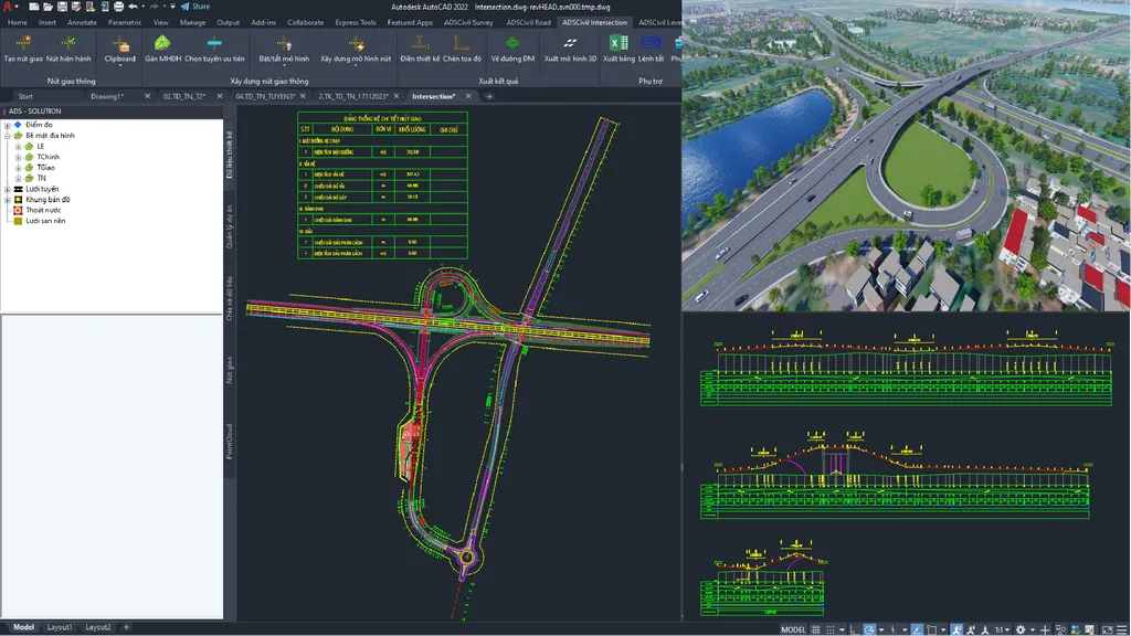
- ADSCivil provides a full set of tools for specialised design work on projects such as expressways and grade-separated expressway interchanges.
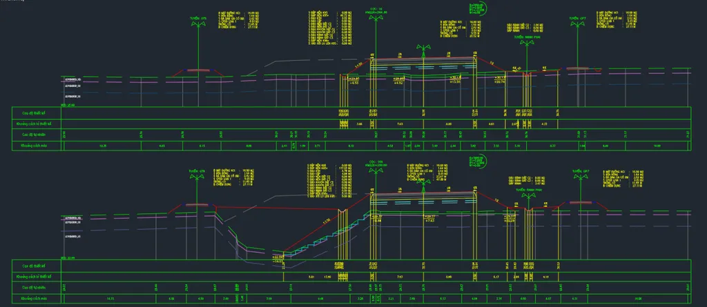
- Design of multiple centrelines on a single cross section, each alignment independent in geometry, pavement, levels and quantities.
- Supports setting out clothoid curves and compound curves combined with superelevation diagrams for designing interchange ramps
2. High-class road design and soft ground treatment
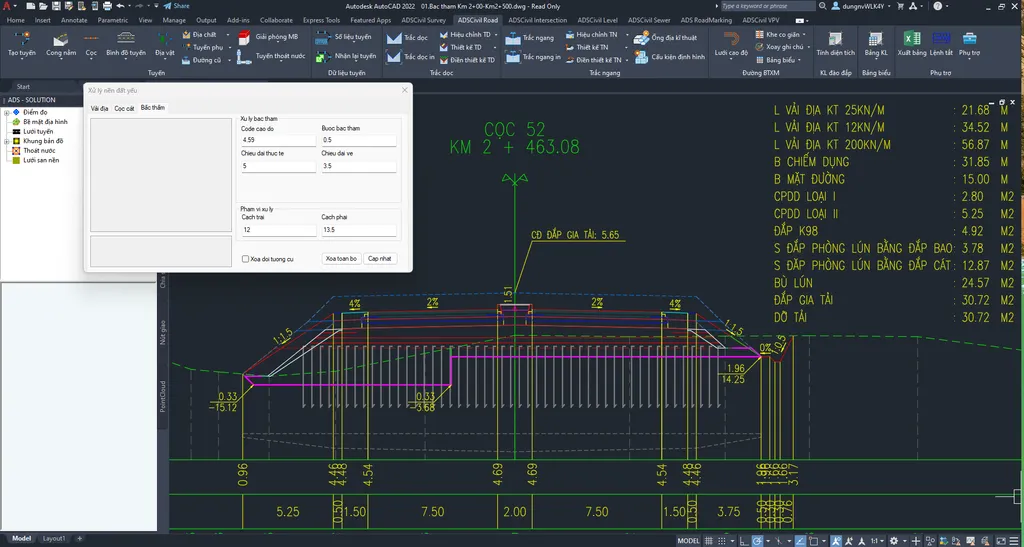
ADSCivil provides powerful soft ground treatment features for roads crossing soft ground, including:
- Surcharge fill design with calculation of settlement compensation and allowance quantities
- Automatic geotextile placement by layer or at the base of structural layers
- Soft ground treatment by prefabricated vertical drains, sand drains and sand piles, with automatic determination of the treatment extent and quantities on plan and cross section
- Automatic placement of vertical drain, sand pile and sand drain blocks within the cross section design extent
3. Mountain road design
Mountain road design is distinctive: it crosses difficult terrain, requires continuous curves to reduce earthwork volumes, and often forces parameters outside the design standard. There are also specialised calculations for treating deep cut slopes through geological strata. Understanding these issues, ADSCivil Road comes with built-in professional features for mountain road design.
- Special superelevation design for curves with overlapping transitions, with flexible definition of superelevation and widening for special curves according to the superelevation diagram
- Automatic design of overlapping curves in the same and opposite directions
- Sight distance design on small-radius curves.
- Handling of benching, slope facing and slope application with gradients that change through the geological strata.
- Detailed quantity calculation for each individual geological stratum
- Insertion and quantity scheduling of standard X86-06 gravity retaining walls
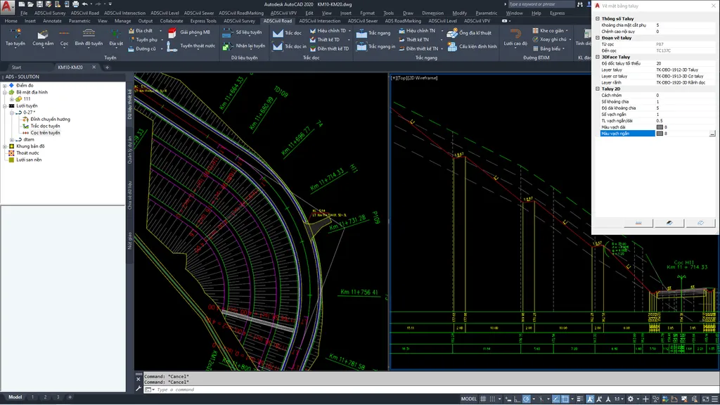
4. Urban road design
Urban roads have complex multi-lane cross sections and many buried utility items that must be coordinated with the cross section. Controlling the direction of flow into gullies and catch basins to ensure surface drainage also calls for extensive automation. ADSCivil therefore provides a full set of features covering every kind of complex urban road cross section.
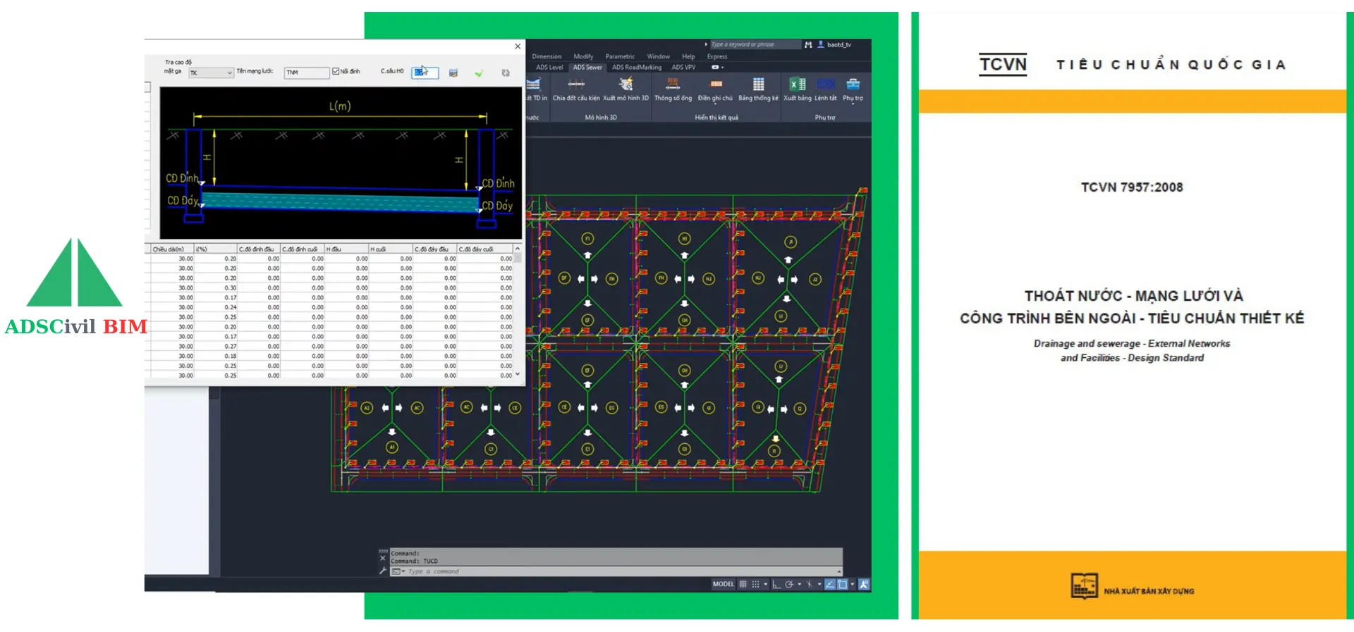
- Coordination of stormwater, foul drainage and water supply networks onto the road cross section, with calculation of culvert foundation earthwork quantities
- Support for defining multiple structures along the route: longitudinal culverts, utility trenches, built channels and so on
- Flexible definition of any complex cross section with multiple lanes and multiple medians
- Channel drain vertical alignment design to control the direction of surface drainage
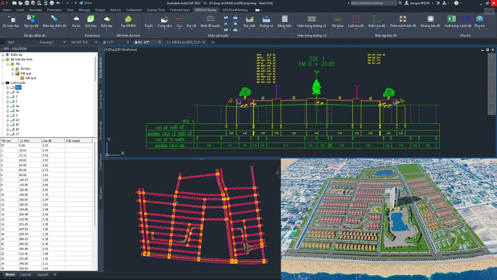
5. Design and delivery of road upgrading and rehabilitation projects
Combined with the existing road survey carried out using ADSCivil Roadmarking, it provides the full range of features for specialised road upgrading and rehabilitation problems such as:
- Upgrading with widening to the new road class standard, overlaying the existing pavement and applying a new structure to the widened section
- Widening the carriageway by a fixed amount while retaining the existing cross fall
- Upgrading to achieve the minimum carriageway width required by the design road class while retaining the existing cross fall.
- Upgrading with an optimised vertical alignment
- Upgrading by widening into the edge of the existing road
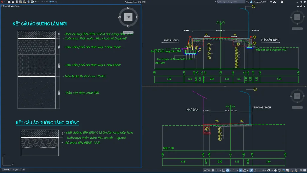
6. Design of roads with rigid pavement and cement concrete pavement
ADSCivil Road together with ADSCivil Level forms an excellent toolset, ideally suited to designing roads with rigid pavement.
- Automatic generation of the concrete slab layout.
- Placement and scheduling of contraction, expansion and construction joints and dowel bar layout, automatically discarding joints of unreasonable length
- Export of the setting-out coordinate and level table for pavement construction.
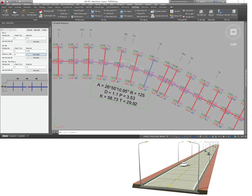
7. Design of special linear structures
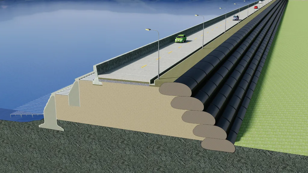
Besides road cross sections, ADSCivil Road is also used to design special sections such as sea dykes, breakwaters using Geotube geotextile tubes, and irrigation canals.
Contact:
Call our hotline now for answers to any questions: 0345.868.227 or 024.3200.5386
website: adscivil.vn
Mail: [email protected]
Address: 2nd Floor, CT1AB Building - Me Tri Plaza, Nam Tu Liem, Hanoi.
Zalo Office: